UAS Support for Search Planning and Field Observation
IRIS Network provides defined visual, thermal, mapping, and remote-viewing assignments that supplement—not replace—the search plan, ground teams, trained observers, and the responsible search authority.
Observation with explicit limitations
Search-Area Overview
Current aerial imagery can provide terrain, access, drainage, vegetation-pattern, and landmark context for the search planners responsible for assigning resources.
Thermal Observation
Thermal imagery can identify apparent heat differences in the field of view. It cannot see through dense canopy or solid obstructions, and a heat signature does not by itself identify a missing subject.
Visual Follow-Up
RGB imagery may help authorized personnel examine a visible object or location from a different angle. Identity and condition require appropriate confirmation by responders.
Route and Access Context
Visible roads, trails, clearings, water crossings, slopes, and obstructions may support route discussions when the aircraft can safely observe the relevant area.
Supplemental Team Observation
An overhead view may help command observe visible activity, access, or hazards in an assigned area without replacing the search organization’s accountability process.
Visible Hazard Documentation
Cliffs, water, damaged roads, unstable-looking surfaces, and other visible conditions can be documented for evaluation by the responsible personnel.
Secure Remote Viewing
Authorized coordinators may view the aircraft feed remotely when field and viewer connectivity are stable enough for the planned use.
Where aerial information may support the search
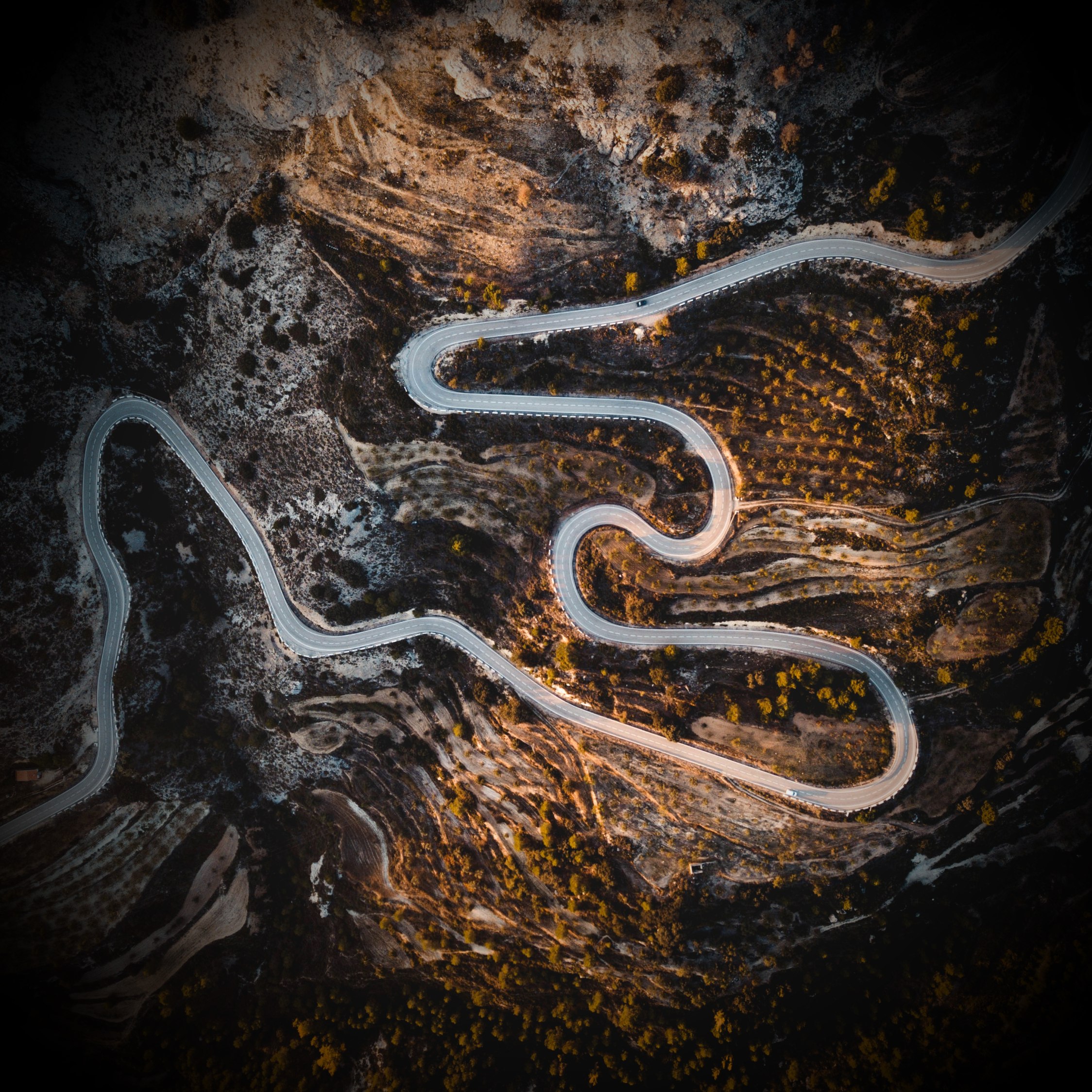
Rural and Wilderness Search Areas
Aerial imagery may help planners examine open ground, roads, clearings, shorelines, terrain transitions, and other visible features. Dense forest, steep terrain, weather, and canopy can sharply reduce both visual and thermal effectiveness.
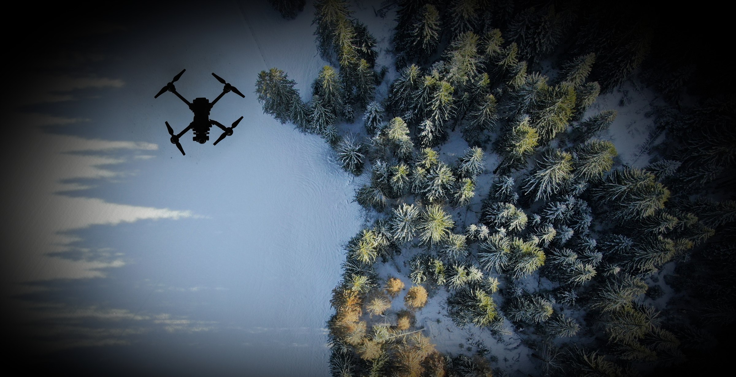
Night and Low-Light Assignments
Thermal contrast can sometimes be more useful after surfaces cool, but weather, moisture, vegetation, heated objects, animals, buildings, and ground conditions can create confusing signatures. The search plan determines how observations are checked.
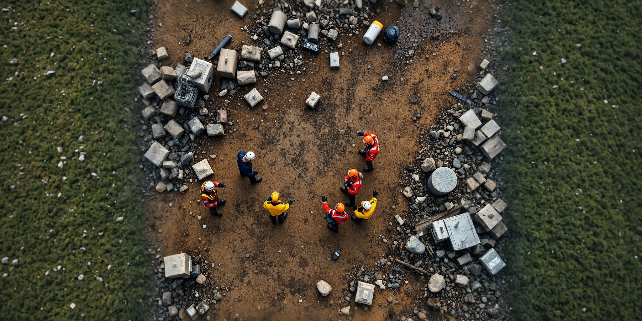
Multi-Agency Search Coordination
A secured view and recorded imagery can support briefings between authorized teams when communications, data access, and operational roles have been established in advance.
Define the search-support workflow in advance.
Discuss search authority, assignment boundaries, communications, data sharing, weather, terrain, and sensor limitations with IRIS Network.