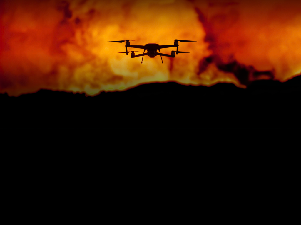
IRIS Network — Public-Safety UAS Support in Western Washington
For Public-Safety Operations
Fire & Rescue
Elevated visual observation, thermal anomaly screening, incident mapping, and secure remote viewing.
Learn MoreSearch & Rescue
Search-area overview, thermal and visual observation, terrain context, and ground-team coordination support.
Learn MoreDisaster Response
Flood and access documentation, damage imagery, incident mapping, and remote coordination support.
Learn MoreWhen every angle matters, give incident leaders the view from above.
Small unmanned aircraft can quickly position visual and thermal sensors over terrain, structures, access routes, and incident areas that are difficult to observe from the ground. IRIS turns that vantage point into useful operational context by matching the aircraft, sensor, communications path, and deliverable to the assignment.
That additional view can help incident leaders understand access, visible hazards, changing conditions, search areas, and resource movement while the requesting organization retains command, safety, accountability, and verification.
See more of the incident. Keep the operation team-led.
When conditions and connectivity allow, imagery can be viewed on scene or through secured remote access. Recorded imagery, maps, and observations can also support briefings, documentation, and post-incident review.
Why plan the relationship in advance?
The right time to define scope, contacts, access, and limitations is before an incident. IRIS uses the participation process to determine whether the program is an appropriate supplemental resource for the organization.
Defined supplemental capacity
Evaluate an outside UAS resource without treating it as a replacement for an internal program, mutual aid, or established response procedures.
Planned operating boundaries
Discuss airspace, weather, scene safety, communications, records, equipment, and regulatory responsibilities before a deployment is requested.
Information matched to the incident
Select visual observation, thermal screening, mapping, documentation, or secured remote viewing only when each tool fits the operational question.
Integration before activation
Establish points of contact and a practical request process so a responding pilot can work within the agency’s command and communications structure.

Agency participation begins with operational fit.
IRIS reviews participating organizations, likely mission needs, communications, response expectations, and the conditions that may make a UAS assignment practical—or inappropriate.
- Application and organizational eligibility review
- Grant and donor funding pursued to offset eligible mission costs when available
- Direct discussion of mission types, communications, records, and limitations
- Operational integration planned with agency points of contact
- Availability confirmed for each request based on actual conditions and program capacity
Evaluate UAS support before the next incident.
Review the IRIS Network participation framework and tell us how your organization currently plans, communicates, and coordinates aerial support.