UAS Support for Disaster and Incident Operations
IRIS Network coordinates defined imagery, mapping, documentation, and secure remote-viewing assignments for public-safety and emergency-management organizations. The requesting authority determines how observations are evaluated and used.
Document visible conditions without overstating them
Assigned-Area Observation
Visual and thermal imagery may help authorized teams examine selected open areas, structures, shorelines, or access corridors. Observations require verification and do not establish a person’s identity or condition.
Secure Remote Viewing
Authorized personnel may view the aircraft feed from another location when the communications plan and available connectivity support it.
Flood and Incident Mapping
Planned imagery may document visible inundation, shoreline change, debris, or access conditions. Map accuracy and turnaround depend on capture geometry, site access, weather, and processing time.
Damage Documentation
Elevated imagery can record visible exterior damage, debris fields, and infrastructure conditions for assessment by qualified personnel.
Visible Hazard Observation
The aircraft may document visible water, debris, blocked routes, damaged utilities, or other conditions while maintaining an appropriate operating distance.
Access-Route Documentation
Current imagery can help responsible agencies compare visible road, bridge, shoreline, and staging-area conditions without certifying that a route or structure is safe.
Hazardous-Materials Scene Context
From an authorized operating position, visual and thermal imagery may document visible containers, vehicles, access, surface-temperature differences, or scene changes. The aircraft does not identify a substance, measure air quality, establish a contamination boundary, or replace qualified hazardous-materials monitoring.
Transportation and Evacuation Context
An elevated view may document visible congestion, blocked lanes, stranded vehicles, route obstructions, and staging conditions for the personnel responsible for traffic or evacuation decisions. IRIS does not direct traffic or certify a route as safe.
Multi-Agency Incident and Exercise Record
A defined capture plan can document visible staging, access, resource placement, and change during an authorized incident or exercise. Privacy, records, evidentiary handling, and distribution requirements are established with the requesting organization.
Where a current aerial record may help
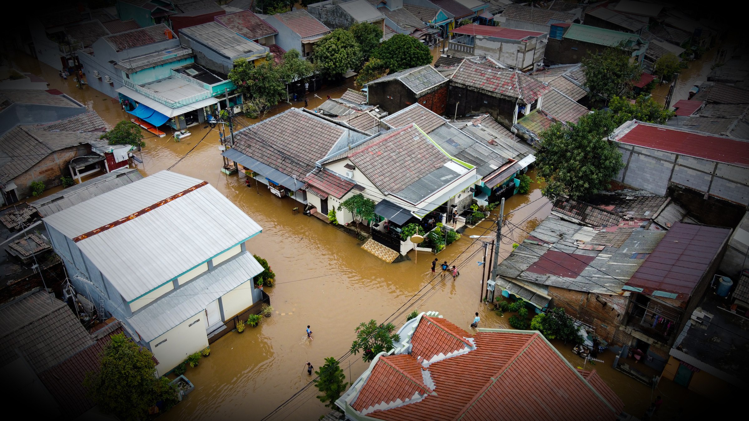
Flood and Storm Documentation
Aerial imagery can document visible inundation, isolated areas, debris, erosion, and blocked access across an assigned area. Flight safety, weather, airspace, and communications remain limiting factors during severe events.

Access and Infrastructure Observation
Current overhead imagery may help qualified personnel prioritize closer evaluation of roads, bridges, facilities, utility corridors, and staging areas. IRIS imagery does not certify structural condition or route safety.
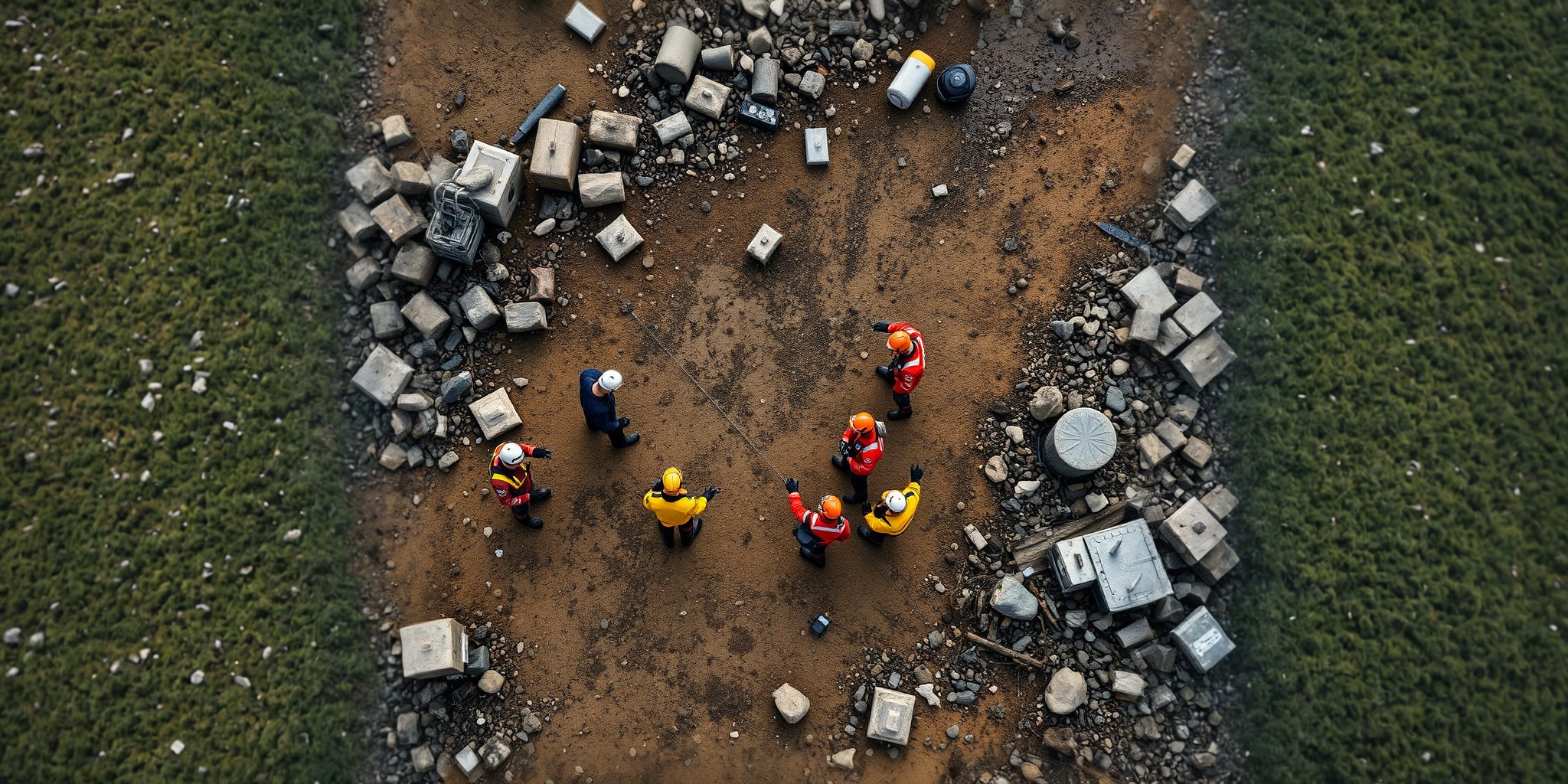
Multi-Agency Incident Documentation
A defined capture plan can provide authorized teams with a shared visual record of selected areas, visible changes, and operational access. Distribution, retention, and evidentiary handling are agreed before the assignment whenever practicable.
Establish the information and access plan before activation.
Discuss incident authority, communications, data handling, mapping requirements, response conditions, and operational limitations with IRIS Network.