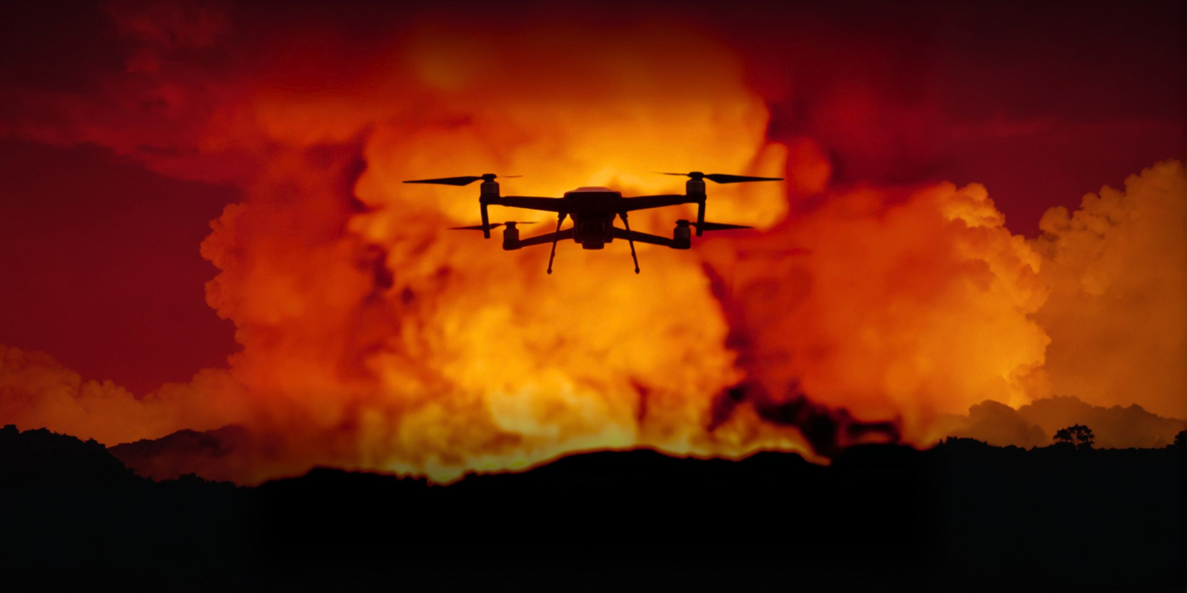
UAS Support for Defined Public-Safety Assignments
IRIS Network coordinates visual observation, thermal screening, mapping, documentation, and secure remote viewing when those tools fit the requesting organization’s operational question. Every assignment remains subject to availability, airspace, weather, scene safety, equipment, connectivity, and an approved scope.
Fire & Rescue Support
Defined assignments may include exterior aerial size-up, thermal anomaly screening, incident mapping, visible-condition documentation, and secured remote viewing. Thermal findings remain surface observations that require evaluation and ground verification.
Learn More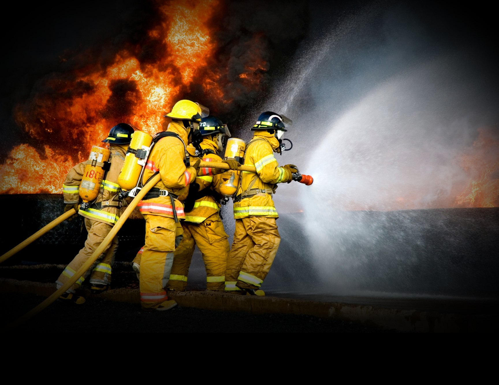
Search & Rescue
Search-area overview, visual and thermal observation, terrain and access context, mapping, and secure remote viewing can supplement the search plan. Sensor results are affected by weather, vegetation, terrain, obstructions, and environmental heat.
Learn More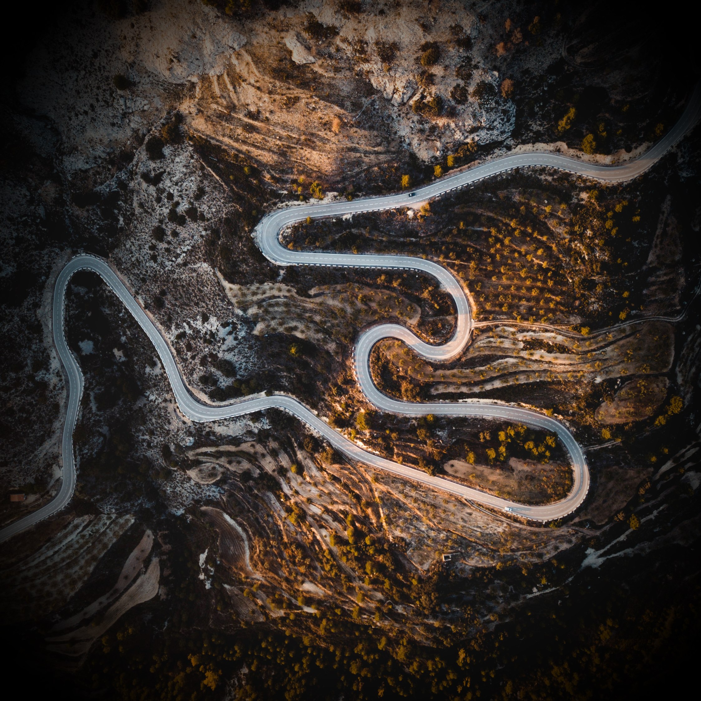
Disaster Response
Aerial imagery may document visible flooding, debris, access routes, exterior damage, and changing incident conditions. Maps and recorded imagery support qualified decision-makers; they do not certify structural safety or identify hidden hazards.
Learn More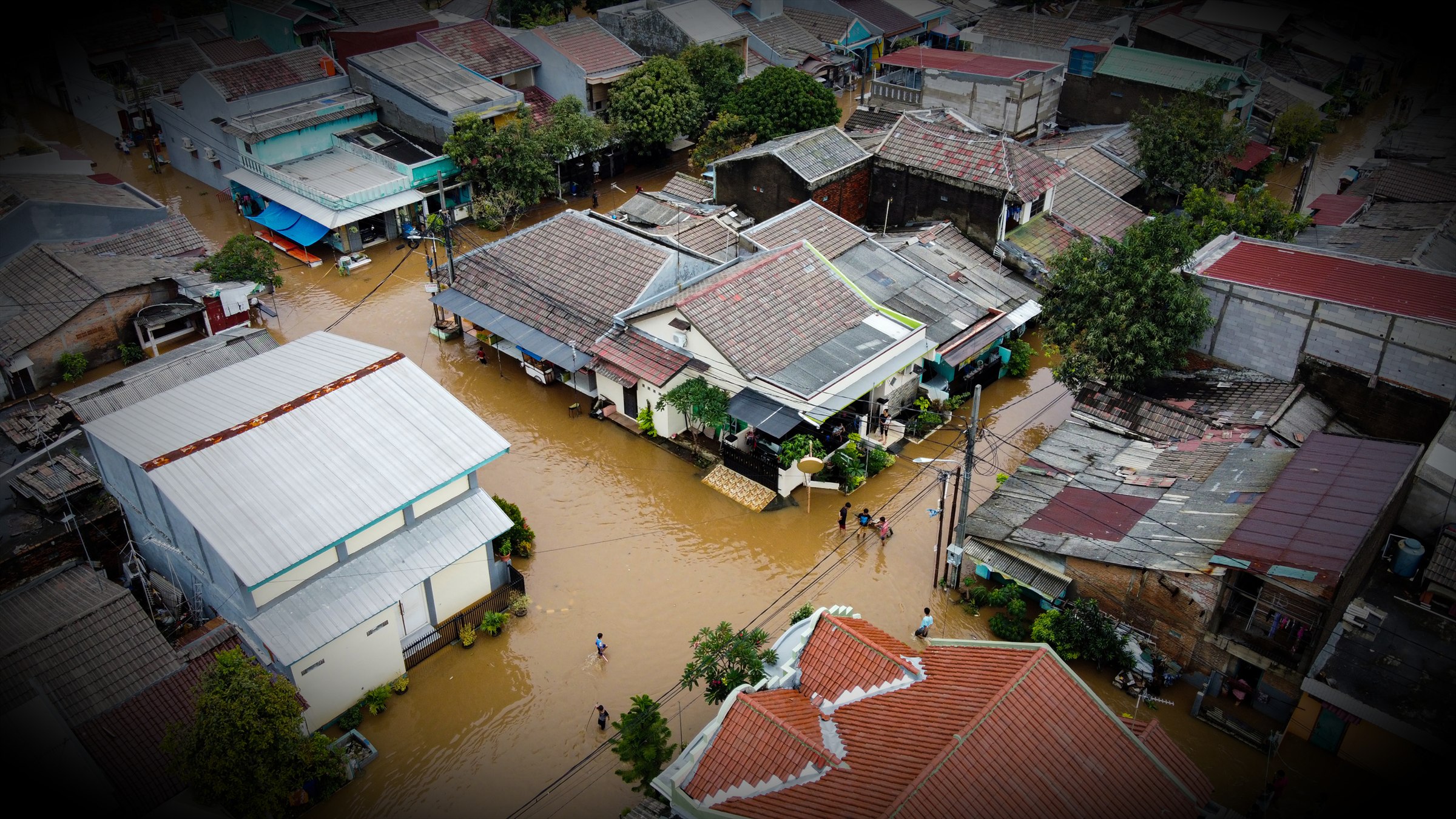
Operational delivery
Secured remote viewing for authorized teams
When the assignment and available connectivity support it, IRIS can provide protected access to a live aircraft view for authorized personnel away from the launch location. Viewer access, session duration, intended users, and the information displayed are defined for the operation.
Remote viewing supplements established communications. Performance depends on the aircraft link, field internet or satellite service, the viewing party’s connection and device, and the selected video profile; uninterrupted delivery is not guaranteed.
Evaluate UAS support before the next incident.
Review the IRIS Network participation framework and tell us how your organization currently plans, communicates, and coordinates aerial support.